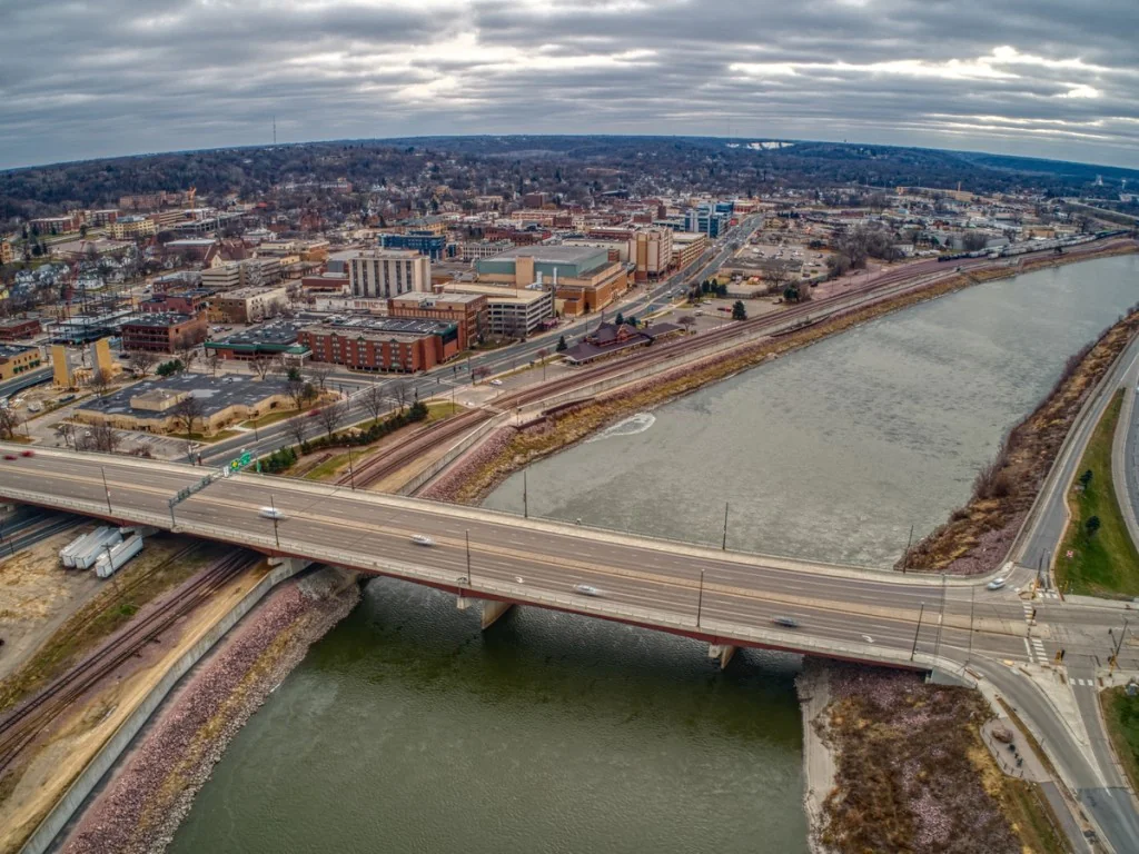
Situated 5 miles northeast of the downtown of Mankato, in Blue Earth County, Minnesota, Mankato Regional Airport is a city-owned, public-use airport. It is the site of the flight training program of the Minnesota State University and Northstar Aviation. Covering 900 acres, Mankato Regional Airport features a variety of facilities, including two runways with asphalt and concrete surfaces.
There are 71 aircraft based on the field of Mankato Regional Airport, such as multiple-engine airplanes, ultralights, jet airplanes, helicopters, and single-engine airplanes. The major aircraft operations Mankato Regional Airport provides are local general aviation, air taxi, military, and transient general aviation.
Airports near Mankato Regional Airport
AEL, Albert Lea, Albert Lea, United States.
AUM, Austin, Austin, United States.
EST, Municipal, Estherville, United States.
FBL, Municipal, Faribault, United States.
FCM, Flying Cloud, Minneapolis, United States.
FRM, Fairmont, Fairmont, United States.
FXY, Municipal, Forest City, United States.
JDT, Downtown Heliport, Minneapolis, United States.
JMN, Municipal Heliport, Mankato, United States.
MIC, Crystal, Minneapolis, United States.
MJQ, Jackson, Jackson, United States.
MKT, Municipal, Mankato, United States.
MSP, Minneapolis – St. Paul Intl, Minneapolis, United States.
MWM, Windom Municipal, Windom, MN, United States.
OWA, Owatonna, Owatonna, United States.
RWF, Redwood Falls Muni, Redwood Falls, United States.