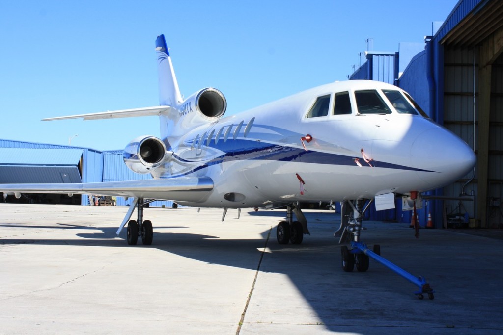
Charter to and from Clinton-Sampson County Airport
Clinton-Sampson County Airport (CTZ, KCTZ) is located in Clinton. Mercury Jets offers private jet charter services to and from Clinton, NC.
About Clinton-Sampson County Airport
Situated just 2 nautical miles southwest of the city center of Clinton, North Carolina, Clinton-Sampson County Airport is a public use airport in Sampson County. The airport is owned by both Sampson County and the city of Clinton. Sampson County Airport in the past, Clinton-Sampson County Airport is categorized by the National Plan of Integrated Airport Systems as a general aviation facility. Covering an area of around 114 acres, Clinton-Sampson County Airport features one asphalt surfaced runway in good condition. There are 23 aircraft based on the field of Clinton-Sampson County Airport, including single-engine airplanes and jet airplanes. The major aircraft operations Clinton-Sampson County Airport provides are transient general aviation, air taxi, military, and local general aviation.
Airports near Clinton-Sampson County Airport
CTZ, Sampson County, Clinton, United States.
FAY, Municipal, Fayetteville, United States.
FBG, Simmons AAF, Fort Bragg, United States.
GSB, Seymour Johnson AFB, Goldsboro, United States.
ILM, Wilmington International, Wilmington, United States.
OAJ, Albert J Ellis, Jacksonville, United States.
POB, Pope AFB, Fayetteville, NC, United States.
RDU, Raleigh-Durham International Airport, Raleigh/Durham, United States.
Clinton-Sampson County Airport (CTZ, KCTZ) Information
IATA Code
CTZ
Local Code
KCTZ
Latitude
34.975
Longitude
-78.365556
Type
Public
Longest Runway
5,002 feet
Elevation
144 ft / 44 m
Airport Address
89 Sampson Airport Rd, Clinton, NC 28328, United States