What Is a Cold Front and How Will It Affect My Flight?

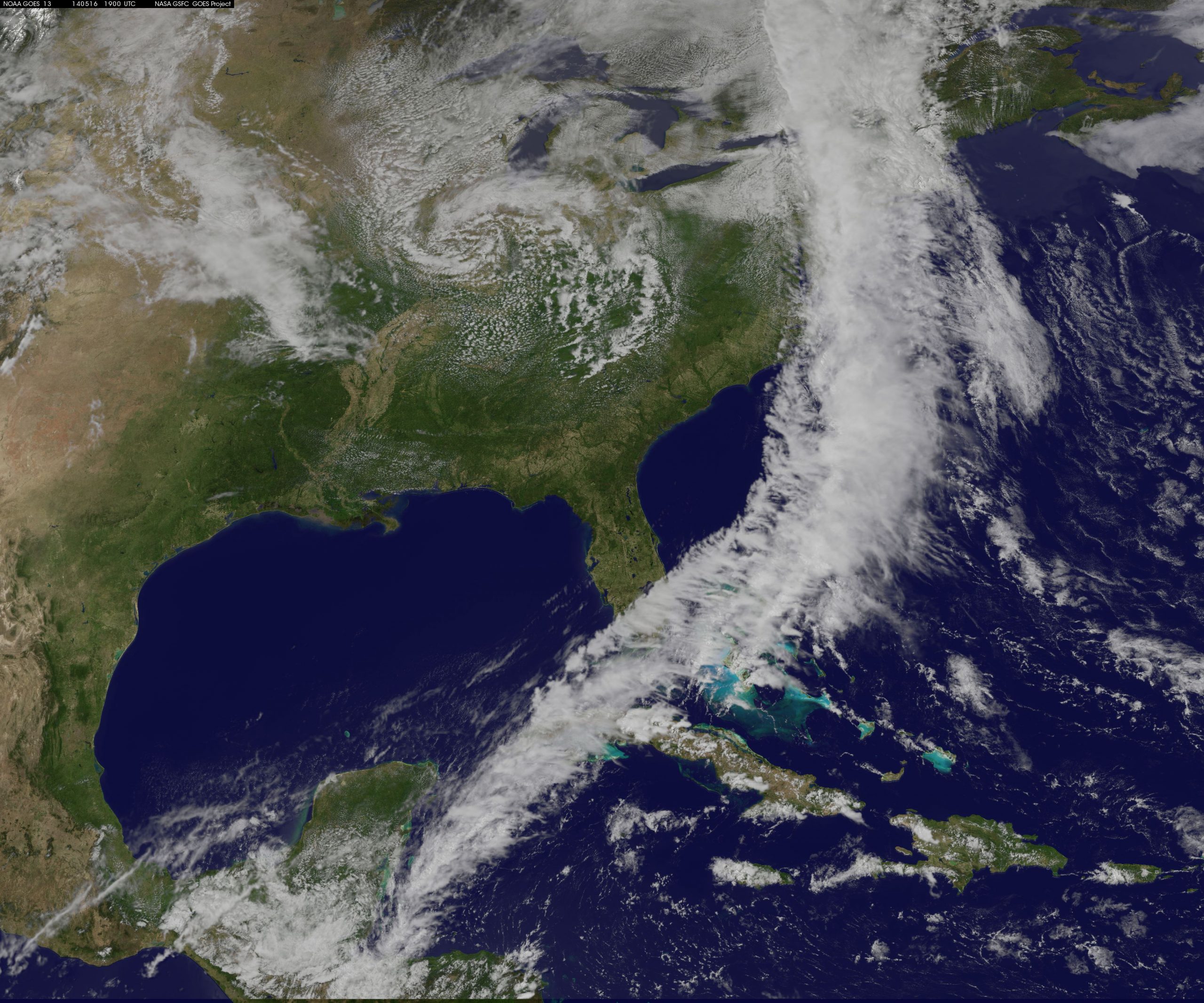
A cold front is a boundary between two air masses that will have colder air behind it and warmer air ahead of the boundary. Low pressure systems are associated with these fronts and they will bring about changes in the weather as they progress across a landmass. Low pressure systems, which rotate counterclockwise, will typically bring cooler air from higher latitudes down behind the front, hence the term cold front.
In the winter, this can signal snow and/or ice storms just prior to, and after, the front passes. In addition to the precipitation, as the front progresses eastward (in the middle latitudes), temperatures will begin to drop and winds will begin to increase steadily and change direction. Once the front has passed, barometric pressure will rise (this is an indicator of frontal passage) as well. These higher winds, precipitation, and falling temperatures, are what “Nor’easters” are made of. Heavier turbulence, low clouds, and poor visibility can be expected just prior to frontal passage with conditions steadily improving afterward.
In the summer, warmer air ahead of the cold front is forced aloft and continues to rise due to instability in the atmosphere. Think of the cold air as a wedge or like the front of a bulldozer (this way it is also easier to remember. Again, as it progresses the air in front is forced aloft. This warm air continues to rise and condenses to form rain clouds, and more typical of summer, thunderstorms.
As in winter, the wind will be southerly prior to the passage of the front, and northwesterly post-passage depending on the location of the associated low. Barometric pressure will rise after the front passes as well. Visibility is poor during heavy rain and thunderstorms associated with the front and high winds as well as moderate to heavy turbulence is possible in the area as well. Visibility is generally good outside of the storms and outside of cumulus clouds the ride is typically much smoother.